Descárgate el itinerario haciendo click aquí
Descárgate el rutómetro haciendo click aquí
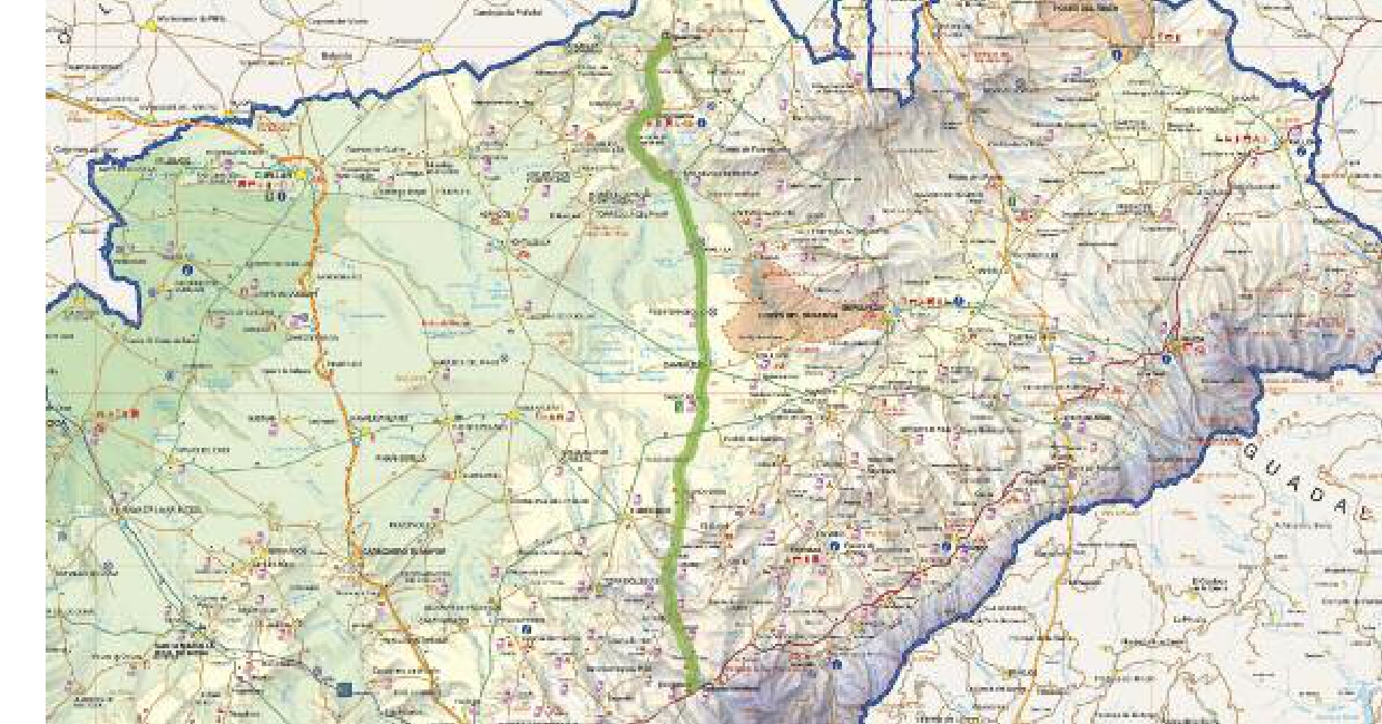
- Distancia: 58,75 km
- Dificultad: baja
- Perfil: con 300 m de desnivel negativo
- Cota máxima: 1166 msnm
- Pendiente: +5,5%
- Cota mínima: 801 msnm
- Pendiente: -3,3%
- Carreteras: SG-V-2366 / SG-V-2362 / SG-V-2317 / CL-603 / SG-V-2425 / SG-V-2429
Accede directamente al área de SEGOVIA CICLOTURISMO donde encontrarás más información sobre rutas, noticias, experiencias o alojamientos pedaleasegovia.es